Map Atlas
Map Atlas (choose maps from gallery and/or selections)

- Aquifer Protection Ordinances
- Floodplain Ordinances

- Public Access Points

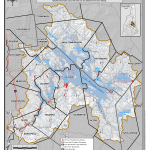
- Riparian Setbacks by Community

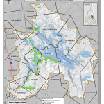
- 250 ft. Shoreland Protection Areas
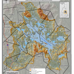
- Steep Slope Areas
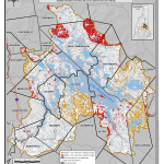
- Steep Slope Ordinances
- Wastewater System Areas
- Wetland Ordinances
